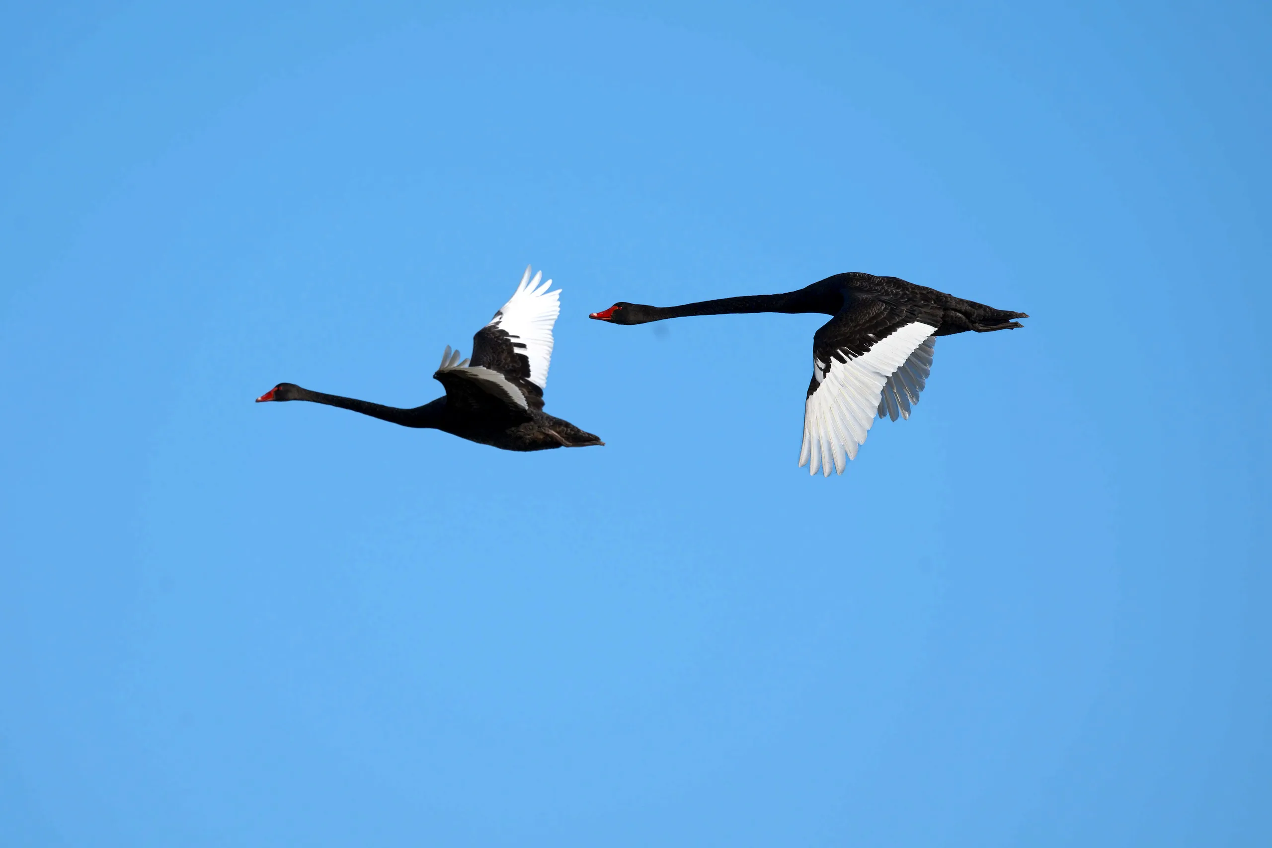
Most people drive past the Macleay Valley on the way to the beach. The river comes out at South West Rocks, and behind it sits a floodplain of swamps, reed beds, paperbark forest and salt marsh that holds more birds than the whole coastline does. Belmore Swamp is the middle of it. More than 200 species have been recorded here, including 18 of Australia’s 24 daytime raptors, and it forms part of the Hastings-Macleay Key Biodiversity Area. When the floodplain is holding water, Black Swans turn up in the hundreds.
I drove out on a Sunday morning in September, got there just after eight, and spent an hour walking a gravel road with a long lens. Here is what was out there.
Where it is, and where to stand
Seale Road is public and it cuts straight across the swamp, so you get water on both sides and a vantage point a little above it. Everything either side of the road is private farmland. You bird from the road reserve and nowhere else: no crossing fences, no walking out onto the flats.
Walking the road beats driving it for two reasons. You hear far more, and you can stop the moment something lifts. That said, your car is a better hide than you are, so for anything close to the road it is worth rolling slowly and shooting from the window rather than getting out and flushing it.
Bring the longest lens you own. Everything below was shot between 200mm and 600mm and most of it is still a long way off.
One honest warning. This is a floodplain, and how much water it holds swings through the year. After rain it is sheet water with swans standing in it. In a dry spell it is paddock with a few puddles and not much reason to stop. It is worth checking recent sightings for the Seale Road hotspot before you commit to the drive.
First light on the water
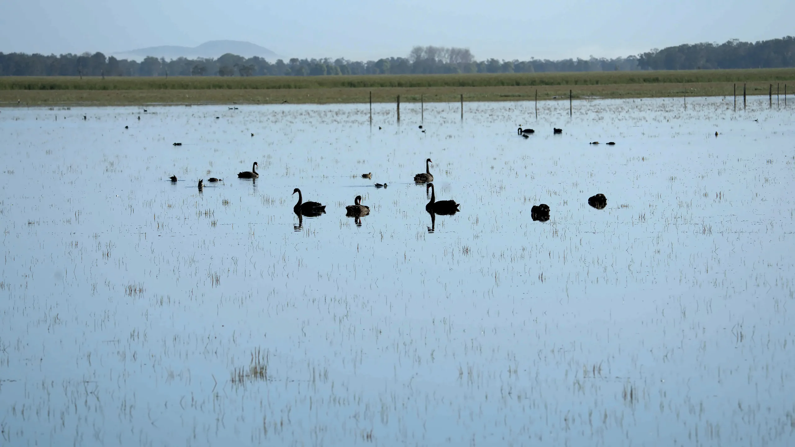
Just after eight, and the swamp is a sheet of water with the old fence line still running through it. Swans and ducks scattered all the way out to the treeline.
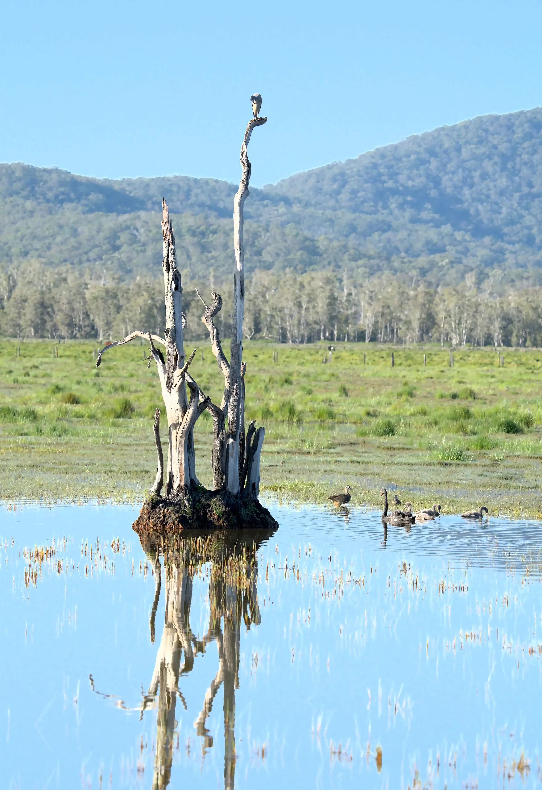
The drowned trees are the landmark here. This one has its own island, its own reflection, and a lodger up top. Paperbark forest behind it, and the ranges behind that.
The swans
Black Swans are what Belmore Swamp is known for. Counts of a thousand birds have been made here in the past. There were nothing like that many on this morning, maybe forty in view at once, but they were in pairs and family parties with cygnets already well grown, which is better to photograph than a raft of a thousand anyway.
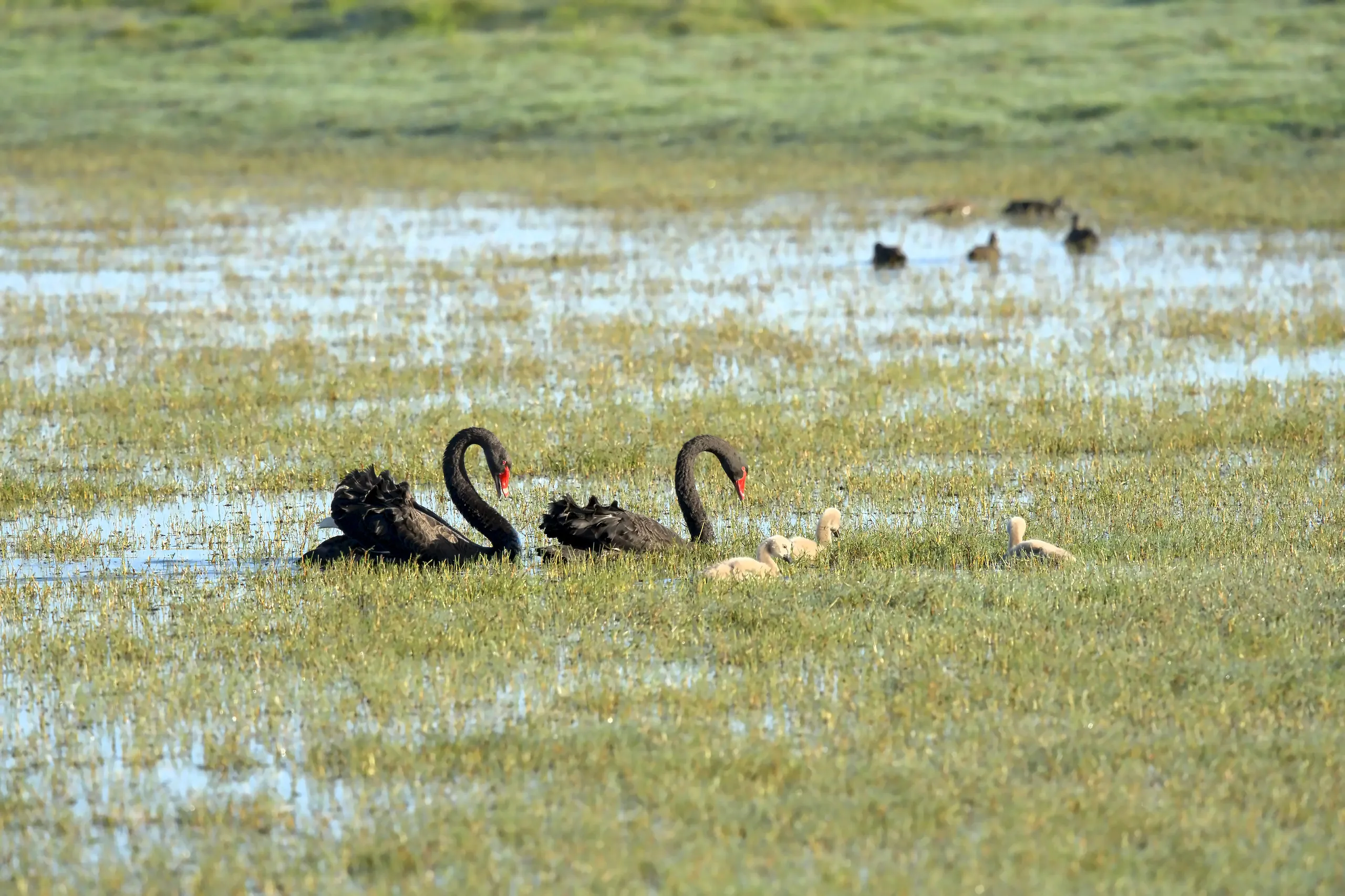
A pair working the flooded grass with the cygnets in tow. The red bills give them away long before you can make out anything else.
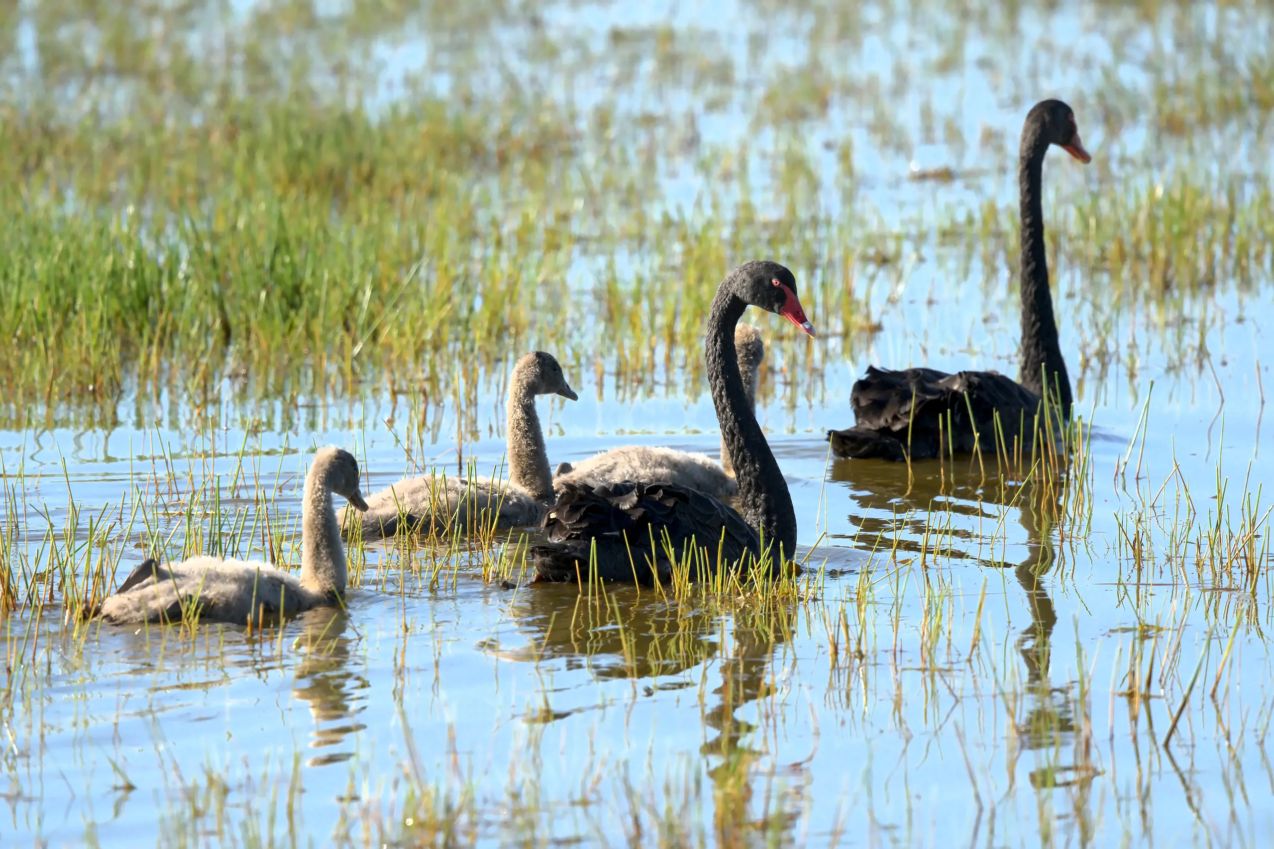
The same family out in deeper water. The cygnets were grown enough to keep up and still grey enough to be obvious.
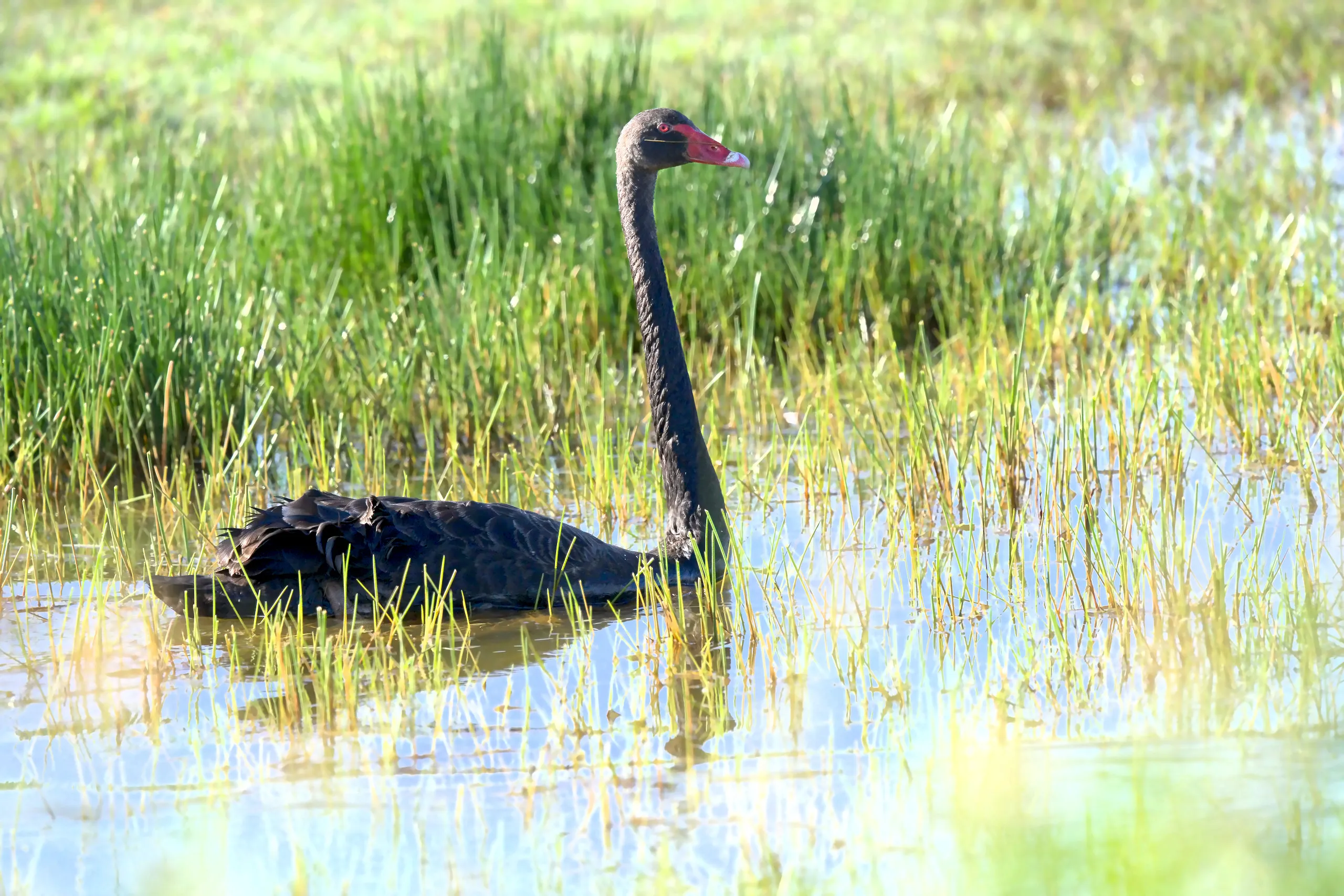
One bird pushing through the rushes close to the road. Wait long enough and something always comes to you.
The ducks
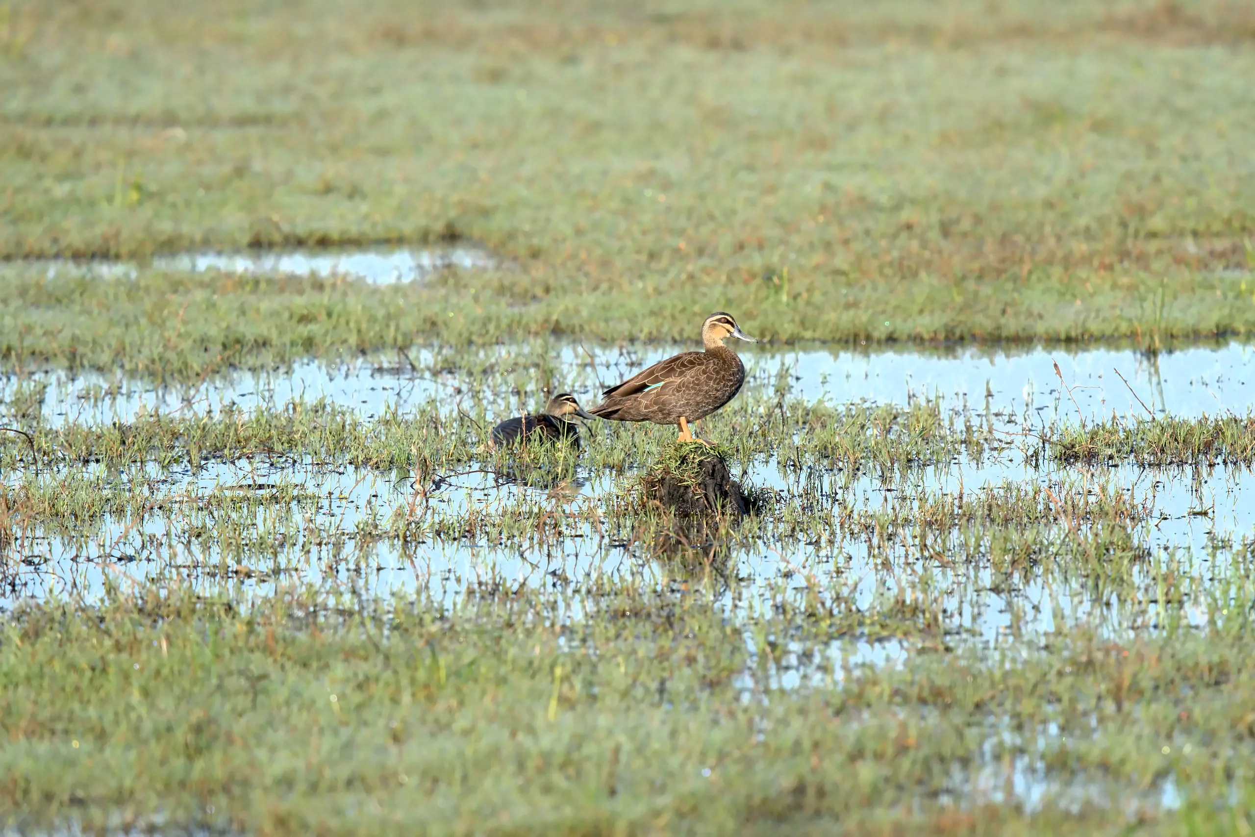
Pacific Black Duck up on a tussock with a second one tucked in below. The striped face is the thing to look for.
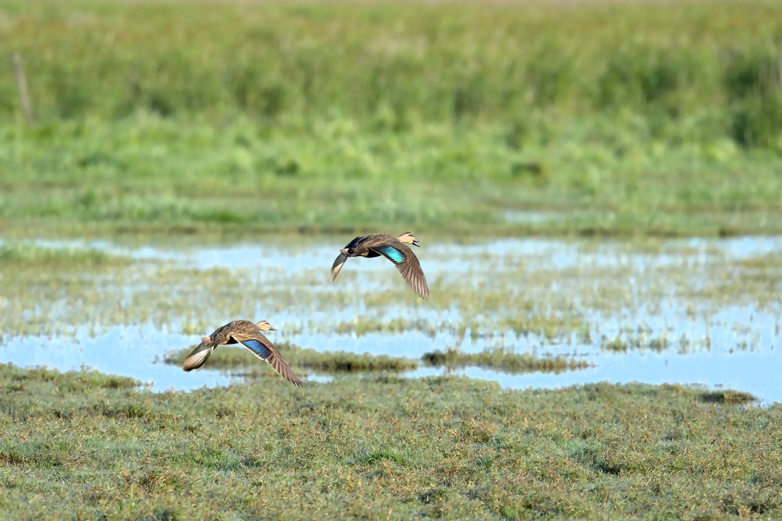
The same species in the air, and the reason it pays to stay on them: that blue speculum only shows once the wing is open.
And everything else
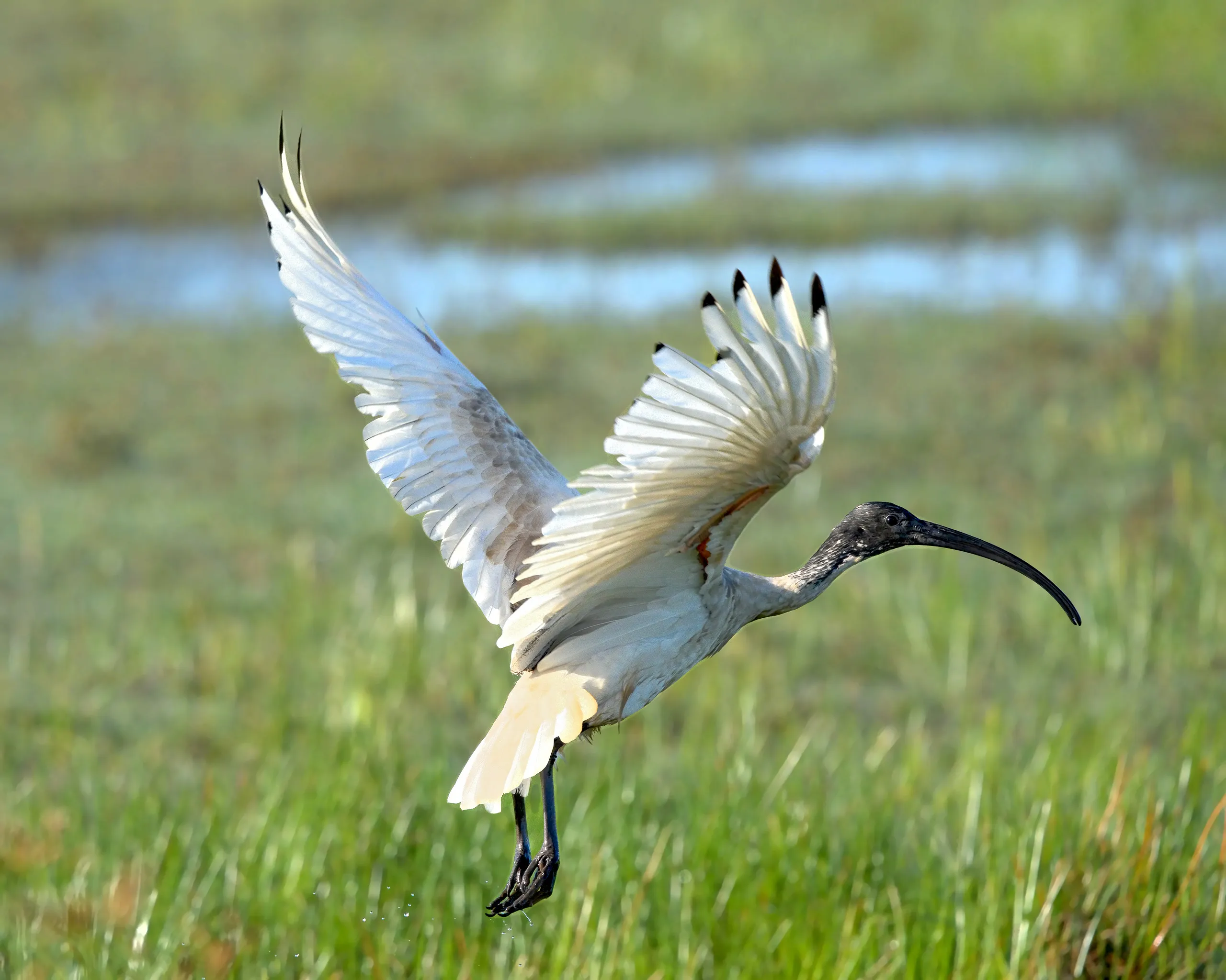
An Australian White Ibis dropping in over the grass. Common as anything in a city park, and a completely different bird out here.
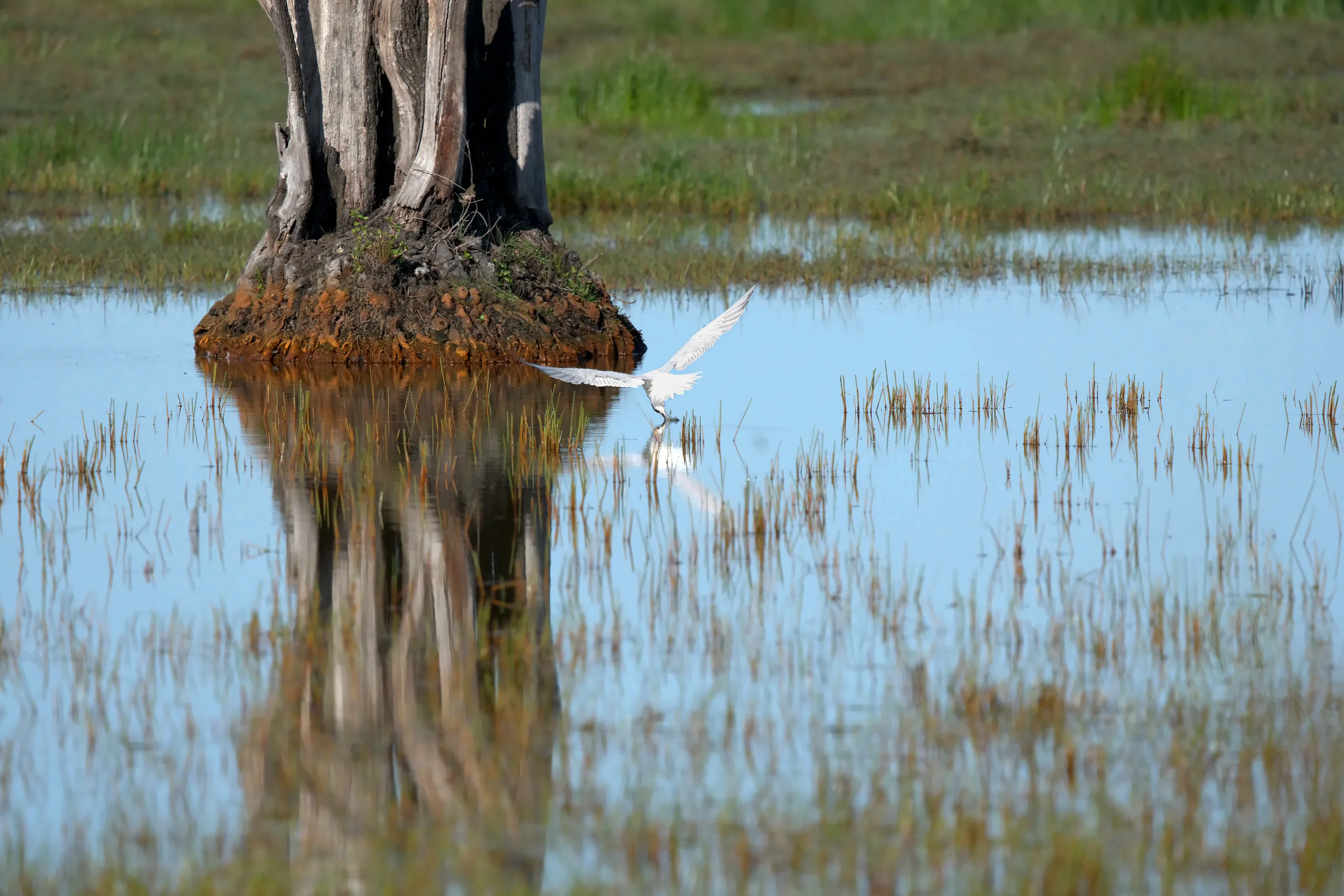
A tern working the surface beside one of the stumps, with its reflection running along underneath. I never got close enough to pin down which tern, and I am not going to pretend otherwise.
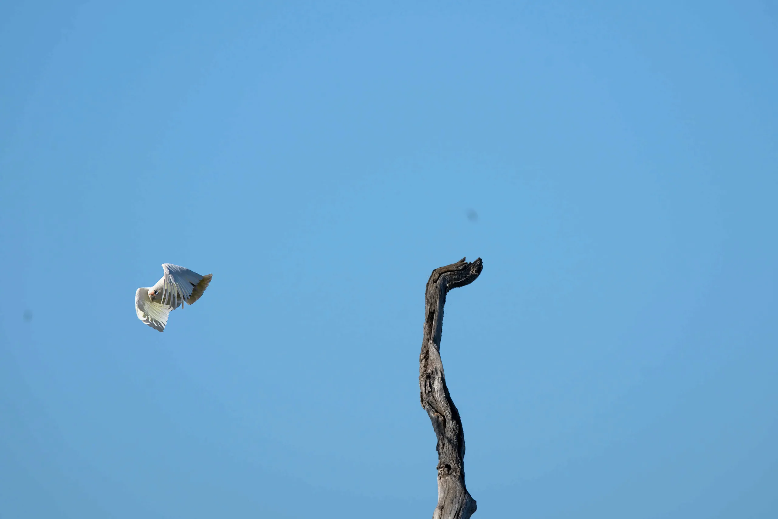
A Little Corella cutting past a dead snag. The bush birds work the edges while the waterbirds hold the middle.
The morning’s list
Photographed: Black Swan with cygnets, Pacific Black Duck, Australian White Ibis, Little Corella, and one tern I could not identify to species. Plenty more out on the water that stayed too far off to name, which is the usual story here.
If you want the full picture of what turns up, the swamp is a listed eBird hotspot as “Belmore Swamp at Seale Rd”, and the records go back years. Black-winged Stilt, Sharp-tailed Sandpiper, Grey Teal, Glossy Ibis, Brolga and Black-necked Stork have all been recorded on this floodplain, and the reed beds are the sort of habitat the Australasian Bittern uses.
Making a morning of it
If you have driven this far, add Boyters Lane Bird Hide at Jerseyville, on the way into South West Rocks. It is the opposite kind of site: a rehabilitated wetland on council land with an information hut, a proper bird hide and about two kilometres of boardwalk around Teal Lagoon. Free, and you can take your time without standing on a road verge.
Between the two you get freshwater swamp and salt marsh in one morning, which is most of what the Macleay has to offer.
Where to stay
The two towns to base yourself in are both about half an hour east, on the coast.
Hat Head is the quiet one: a village wrapped in national park, a clear creek, an empty beach and kangaroos on the headland. Good if you want to be out the door before sunrise without anyone noticing.
South West Rocks is bigger and has far more choice, from motels and apartments around Horseshoe Bay to holiday parks on Back Creek. It also puts you closest to Boyters Lane, and to the Macleay River mouth and Trial Bay if the birding gets rained out.
Kempsey is the closest town of any size, about 15 minutes west, and it is where you fill the tank and buy lunch on the way through.